
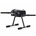
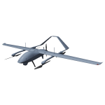

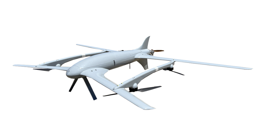
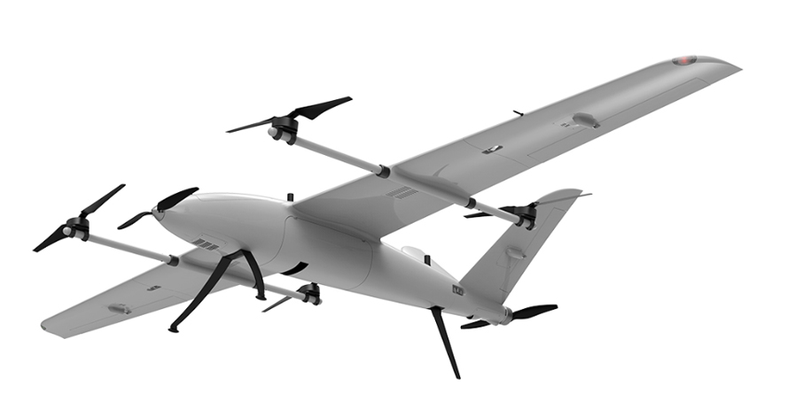
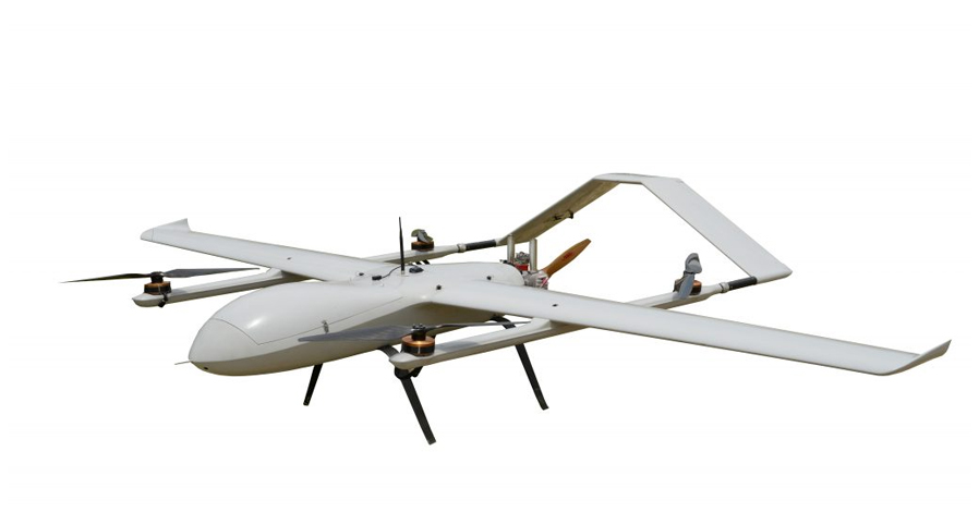
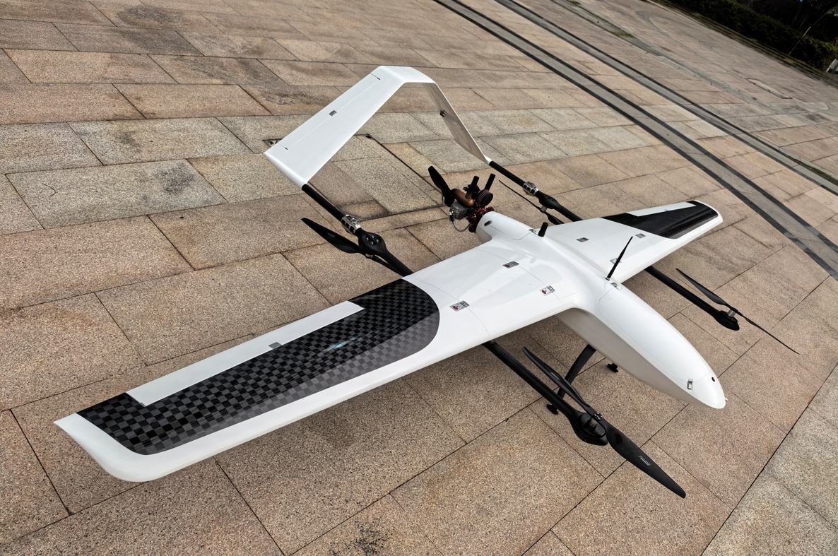
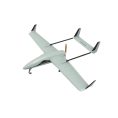
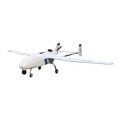


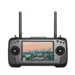


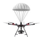


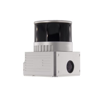
FDG 100C drone LIDAR scanning system for Mapping and Surveying
FDG 100C drone LIDAR scanning system for Mapping and Surveyingis a kind of light compact LiDAR point cloud data acquisition system, integrated Livox new generation laser scanner, GNSS and IMU positioning and attitude determination system, and storage control unit, is able to real-time, dynamically, massively collect high-precision point cloud data and rich image information. It is widely used in the acquisition of 3D spatial information in surveying, electricity, forestry, agriculture, land planning.
Specification
| gAirHawk GS-100C+ | ||
| Item Name | System Parameter | |
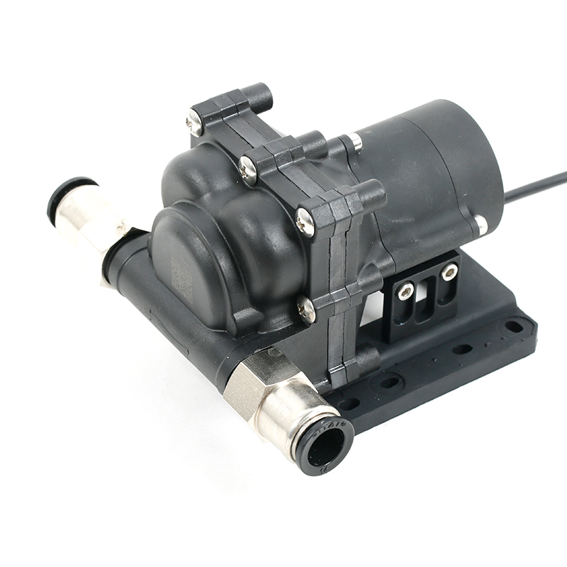
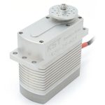
GS-100C+ Parameter | Weight | 1022 g |
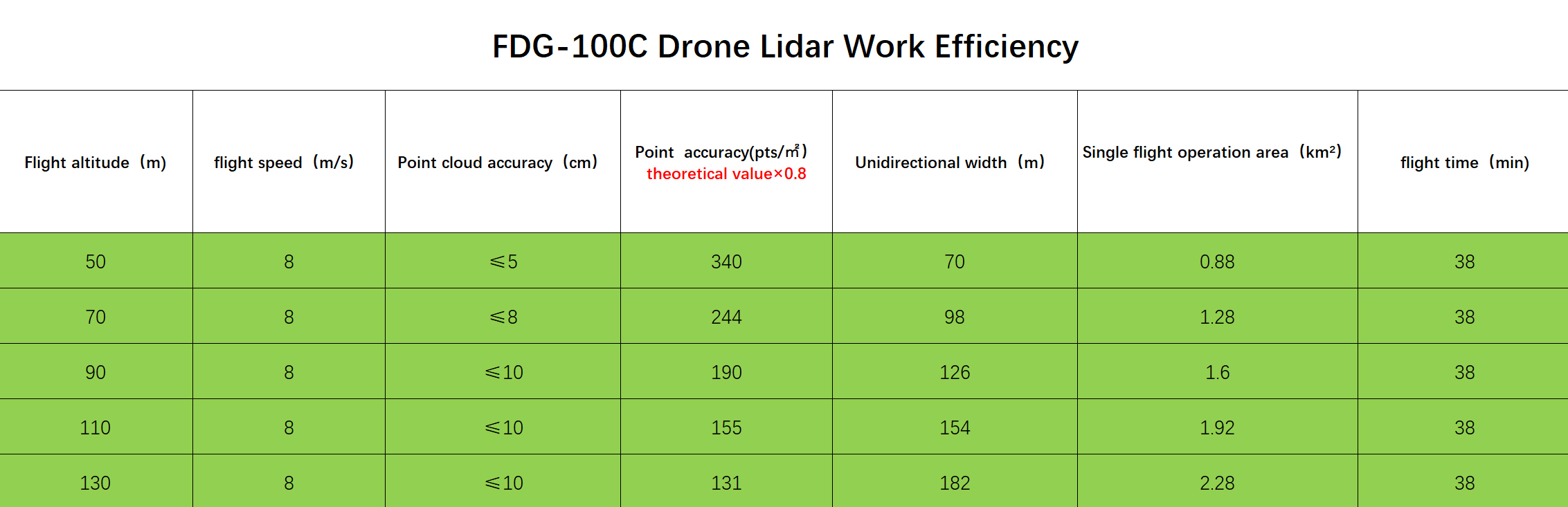
| Measuring accuracy | Less than 10 cm (110 m AGL) | |
| Power range | 12V~16V | |
| Working temperature | -20℃~+55℃ | |
| Consumption | Average 20W | |
| Support Platform | GS-800 Multi Rotor, VTOL Fixed Wing | |
| Storage | 64 GB storage, maximum support 128GB TF card | |
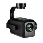
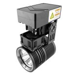
Lidar Unit | Laser Model | Livox Avia |
| Measuring Range | 190m@10% Reflectivity | |
| Laser class | 905nm Class1 (IEC 60825-1:2014) | |
| Laser line number | Equivalent to 64-beam | |
| Mix. range | 0.3 M | |
| Range Precision | 2 cm | |
| data | Triple echo, 720,000 Points/Sec | |
| FOV | 70° the circular view | |
| POS Unit | POS type | AGS 302 |
| Update frequency | 200HZ | |
| Heading accuracy | 0.040° | |
| Pitch accuracy | 0.015° | |
| Rolling accuracy | 0.015° | |
| Position accuracy | 0.02 – 0.05m | |
| GNSS signal type | GPSL1/L2/L5 GLONASSL1/L2 BDS B1/B2/B3 GAL E1/E5a/5b | |
| Pre-processing software | POS software | Output information: position, speed, attitude |
| Point cloud software | Output point cloud data format: LAS format, custom TXT format | |
| Built-in Camera | FOV | 83 Degree |
| Effective Pixel | 26 Mega Pixel | |
| Trigger event | Distance or Time trigger | |


Reviews
There are no reviews yet.