
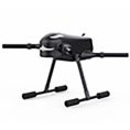
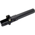

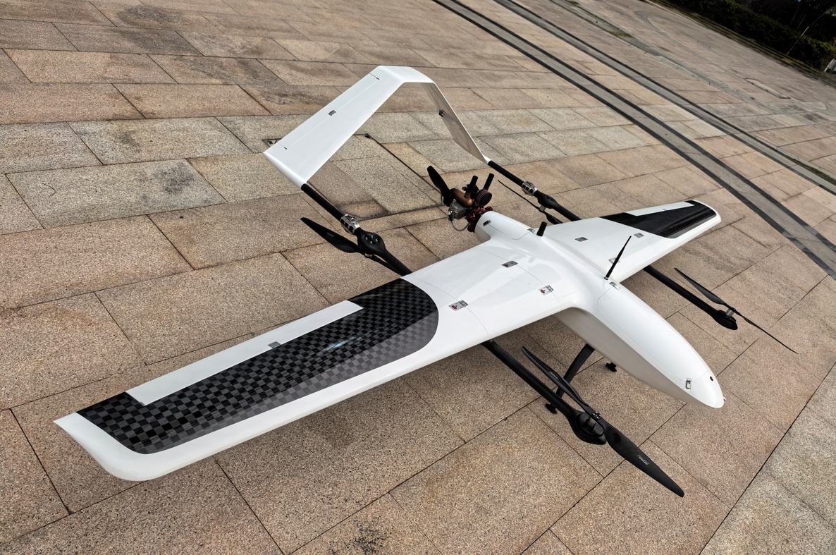
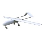
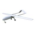
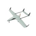
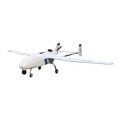


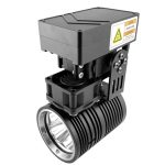

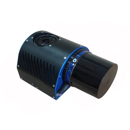
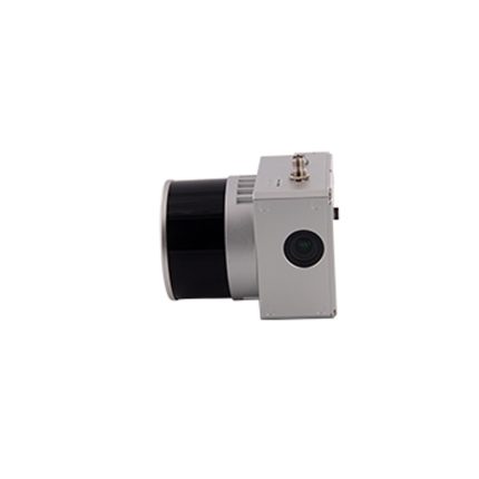
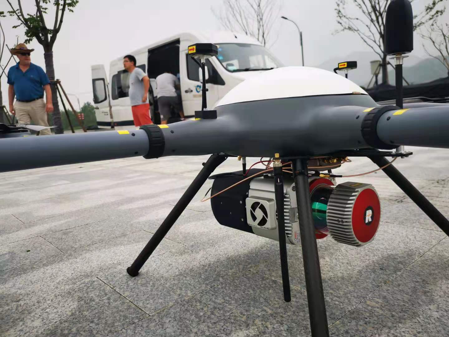
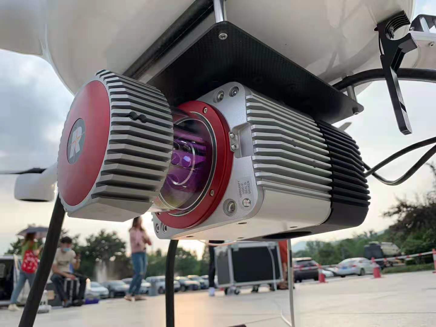
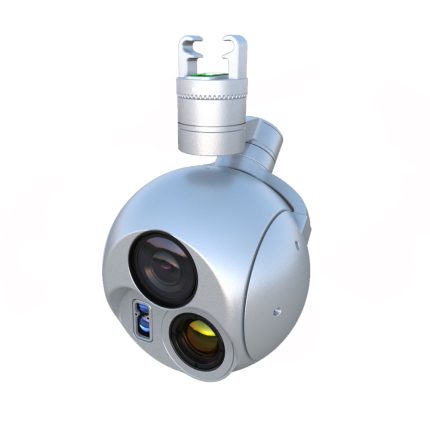
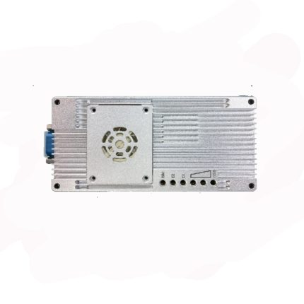
FDL-52A drone lidar system with mapping processing software
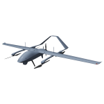
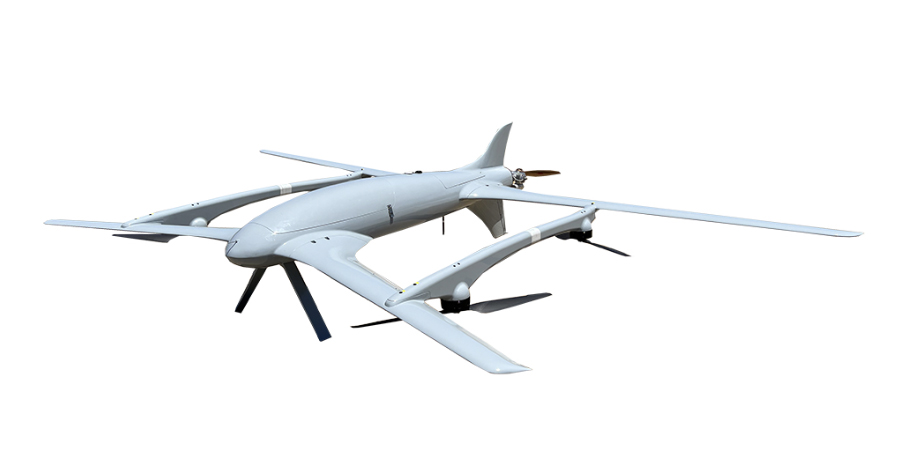
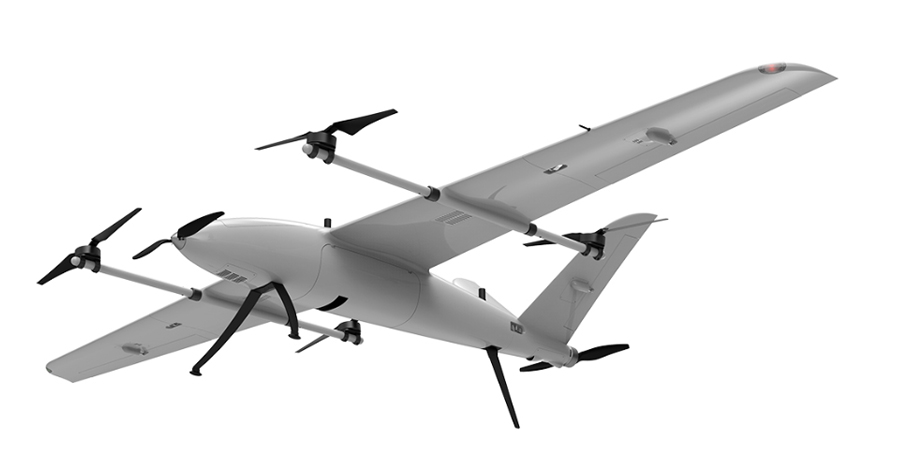
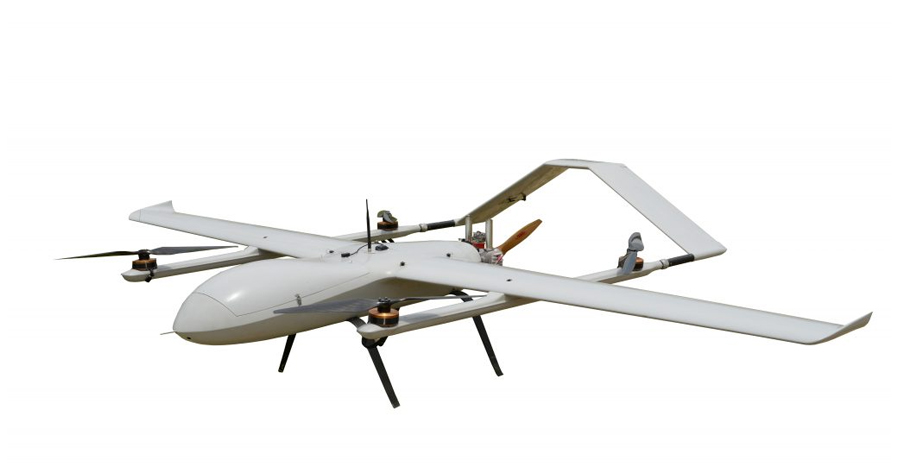
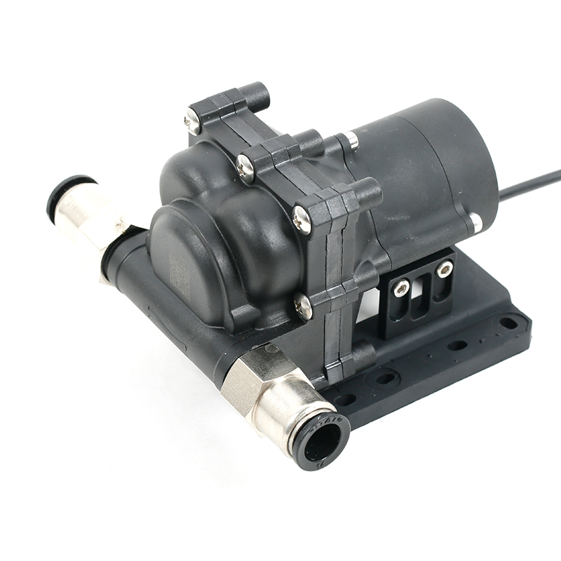
FDL-52A drone lidar system is equipped with Riegl VUX-1LR long range light laser scanner, Applanix high-precision IMU/GPS system APX-20, 20 million pixel camera system, and large-capacity intelligent control unit. The total weight is only 5 kg, which is suitable for A variety of platforms are carried and used, especially vertical take-off and landing fixed-wing UAVs for long-endurance flight and large-area data acquisition. At the same time, GL-52A is also very convenient to convert into an in-vehicle system for various mobile lidar applications.
Specifications
Working voltage: 14V-30V
Maximum power consumption: 85W
Size: 34.1cmx29cmx12.7cm
Weight: 5kg
Working temperature: -5℃-40℃
Storage temperature: -10℃-50℃
Laser class: Class 1
Wavelength: Near infrared
Laser beam dispersion angle: 0.5mrad
Ranging: 5m~1350m
Maximum scanning angle: 330° (adjustable)
Pulse frequency: 820Khz
Scanning mechanism: rotating prism
Pitch/roll accuracy: 0.015°
Heading accuracy: 0.035°
Sampling frequency: 200Hz
Satellite positioning system: support GPS, GLONASS, GALIEO, BEIDOU
Image sensor: CMOS APS-C
Camera Resolution: 20M
Control unit: Windows 10
Storage capacity: can support continuous 8-hour data collection
Scanning bandwidth: 1500m
Work efficiency: One sortie can complete 100 square kilometers data collection


Reviews
There are no reviews yet.